NEW ORLEANS – The Army Corps of Engineers has released some inundation maps to show the anticipated impact to areas if the Morganza Floodway is opened to combat the rising river levels in the Mississippi.
The map shows the amounts of floodwater that can be expected in the areas around the floodway.
A decision to open the spillway had not been made as of midday Saturday, but could come soon.
The Bonnet Carre’ Spillway is scheduled to open Monday, pouring water from the River into Lake Pontchartrain.
The Corps is encouraging people in the areas projected to be affected by an opening of the Morganza to get information from their local officials. Areas on the map include: Pointe Coupee, St Landry, St Martin, Iberia, Iberville, St Mary, and Terrebonne parishes.
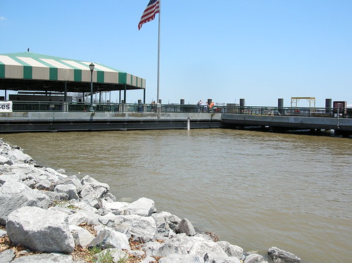
I got a few pictures of the river at Woldenberg park in the quarter today.
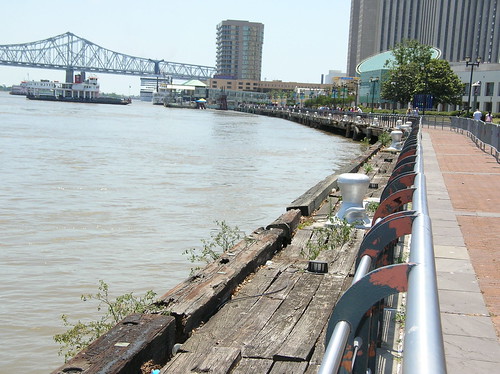
It's high.
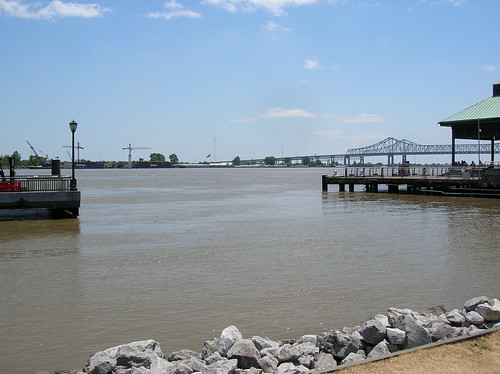
Almost up to the top of the rocks here.
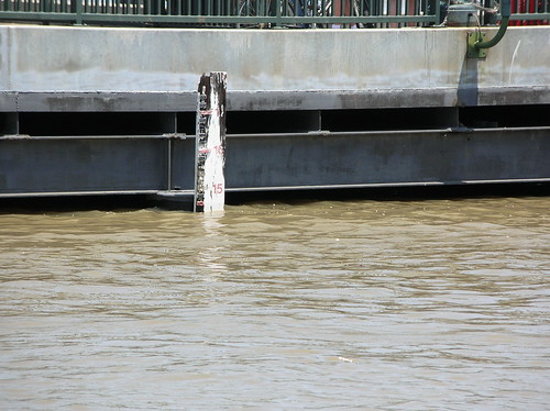
I'm pretty sure I've seen it a few feet higher at least once before this year. According to the stick in the water it looks to be about 14 and a half feet right now.
If I get a chance I'll try and check it out again during the next few days to see if it gets any higher. They're saying they're going to open the Bonnet Carre spillway on Monday. I'm not sure how immediate the effect of that will be.
No comments:
Post a Comment