All things being equal, I prefer to see a map that best adheres to most people's geographic conceptualization of the city, as abstract and dynamic as such ideas may be. To my eye, proposals one and four achieve something like this better than the other three do. The choice between those two depends mainly on whether you think it's a more egregious aberration to remove either Treme or the Fairgrounds from District D.
None of these maps solve what I've always thought was the oddest gerrymander in the city which is the majority white District A's joining of Lakeview to deepest Uptown. It doesn't take much imagination to cut off A at Claiborne avenue and then make up for that by extending it eastward probably to about Paris Avenue. But I don't have the population figures in front of me and don't feel like looking them up right now. Maybe this would have made more sense pre-Katrina.
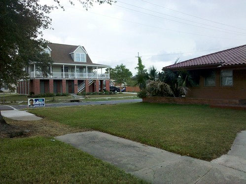
On a tangentially related note, I was on Canal Boulevard yesterday afternoon and decided to follow up on some speculation I had read on Twitter that the multiple John Labruzzo yard signs visible there were placed in front of vacant houses the suspicion being that this was done without consent of the property owners.
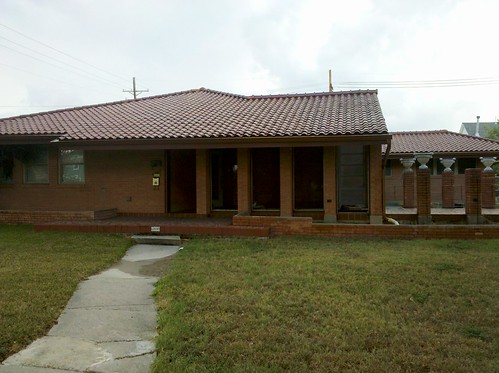
I did manage to find this one sign in front of an apparently unoccupied house. See below.


But the other three signs I passed were in front of occupied buildings. I wonder if it makes more sense to just gerrymander District A into Bucktown.
No comments:
Post a Comment